 dungeonetics
Scale Issues with Published Maps
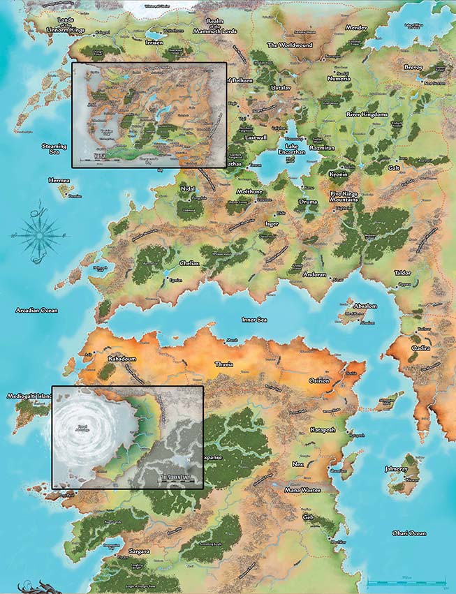
One very significant issue with the Inner Sea Map from Paizo Inc. is that it assumes a consistent scale at all points on the map. If you examine the national maps for each nation/country in the Inner Sea World Guide, you'll see that each of these maps uses the same scale as the Inner Sea Map. This is illustrated in the two images below (click to enlarge each):
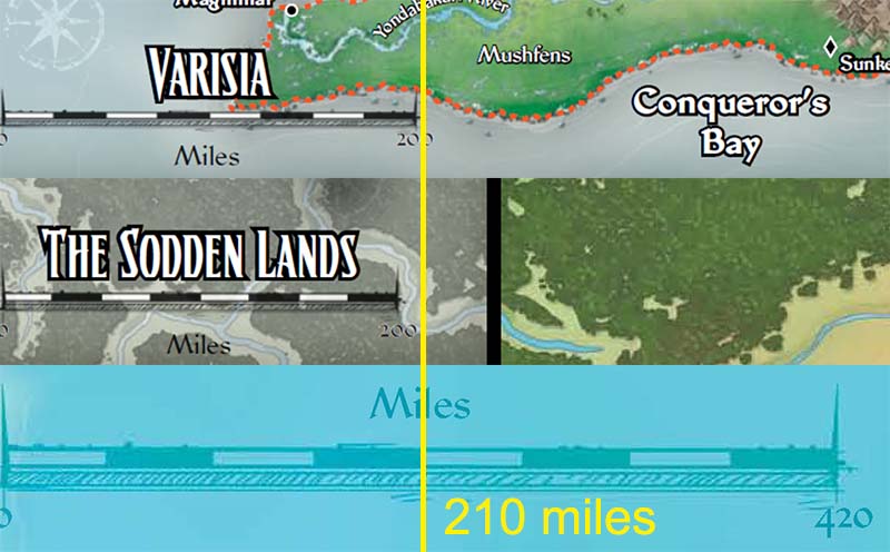
In the first image, I have overlaid the regional maps for Varisia and The Sodden Lands on the Inner Sea Map, scaling them in Photoshop to line up.
In the second image, I have taken the scale bars for all three maps from the final image and stacked them vertically, aligning 0 miles on the left. The yellow line represents the 210 mile mark on the Inner Sea Map. It very closely lines up with both the Varisia and Sodden Lands scale bars.
These maps are likely intended to have straight rhumb lines, something much like the Mercator and Equirectangular projections that are very common for showing maps of the earth. In maps with straight rhunb lines, north is "up" at every point on the map, lines of latitude are horizontal and lines of longitude are vertical. But, to accomplish this, they must heavily distort distances or angles (or both) the farther you get from the equator.
For a map that covers as much distance as the Inner Sea, which is over 3000 miles from north to south, having the same map scale at both the north and south extremes is impossible if you assume straight rhumb lines. The map scale at the north end should be about 30% larger (meaning the actual distance between two points on the map is 30% shorter than it is on the southern end). More importantly, it creates a situation where a true, global map of Golarion becomes inconsistent with the published distances on the large scale, local maps at the regional level. Just to pick one example, if you use latitude and longitude to calculate the great circle distance (the shortest distance beteween two points on a globe) between Magnimar and Sandpoint you find that they are only 35 miles apart. But if you use the regional maps at scale, the straight-line distance between them is about 48 miles.
These map discrepancies cannot be resolved if the Inner Sea Map is assumed to use straight rhumb lines. Instead, we need to consider equidistant projections where lines of latitude and longitude are curved on the maps, or compromise projections which attempt to balance distance, area, and angle distortions. North of the equator, lines of latitude should generally converge to the north, and linmes of longitude should either be parallel (in compromise projections) or curve upwards.